
Waimangaroa topographic map
Interactive map
Click on the map to display elevation.
About this map
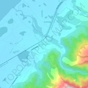
Name: Waimangaroa topographic map, elevation, terrain.
Location: Waimangaroa, Buller District, West Coast, New Zealand (-41.73389 171.74437 -41.69389 171.78437)
Average elevation: 61 m
Minimum elevation: -1 m
Maximum elevation: 443 m