
Harihari topographic map
Interactive map
Click on the map to display elevation.
About this map
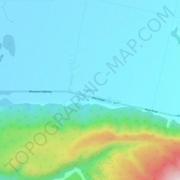
Name: Harihari topographic map, elevation, terrain.
Location: Harihari, Westland District, West Coast, 7884, New Zealand (-43.16792 170.53819 -43.12792 170.57819)
Average elevation: 128 m
Minimum elevation: 38 m
Maximum elevation: 511 m
New Zealand trails, hiking, mountain biking, running and outdoor activities