
Lane County topographic map
Interactive map
Click on the map to display elevation.
About this map
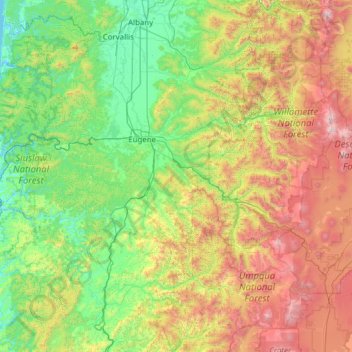
Name: Lane County topographic map, elevation, terrain.
Location: Lane County, Oregon, United States (43.43714 -124.23023 44.29055 -121.76806)
Average elevation: 712 m
Minimum elevation: -2 m
Maximum elevation: 3,038 m
Other topographic maps
Click on a map to view its topography, its elevation and its terrain.
Eugene
United States > Oregon > Lane County
Eugene, Lane County, Oregon, United States
Average elevation: 163 m