
Quarantine Island topographic map
Interactive map
Click on the map to display elevation.
About this map
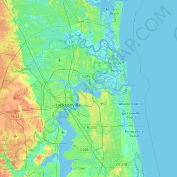
Name: Quarantine Island topographic map, elevation, terrain.
Average elevation: 7 m
Minimum elevation: -4 m
Maximum elevation: 36 m
Other topographic maps
Click on a map to view its topography, its elevation and its terrain.
Marion Island
United States > Florida > Duval County > Jacksonville
Marion Island, Jacksonville, Duval County, Florida, United States
Average elevation: 3 m