
Regent topographic map
Interactive map
Click on the map to display elevation.
About this map
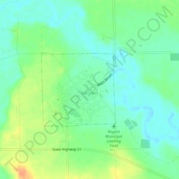
Name: Regent topographic map, elevation, terrain.
Location: Regent, Hettinger County, North Dakota, United States (46.41663 -102.56627 46.42763 -102.55007)
Average elevation: 755 m
Minimum elevation: 740 m
Maximum elevation: 781 m