
Big Thicket topographic map
Interactive map
Click on the map to display elevation.
About this map
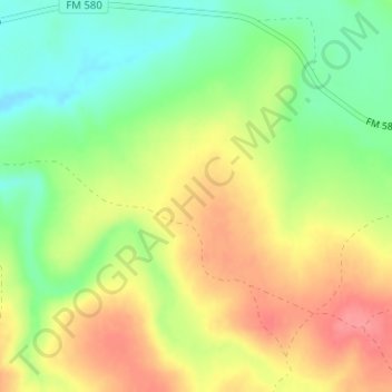
Name: Big Thicket topographic map, elevation, terrain.
Location: Big Thicket, Lampasas County, Texas, United States (31.11318 -98.43759 31.11328 -98.43749)
Average elevation: 376 m
Minimum elevation: 338 m
Maximum elevation: 415 m