
Hyde County topographic map
Interactive map
Click on the map to display elevation.
About this map
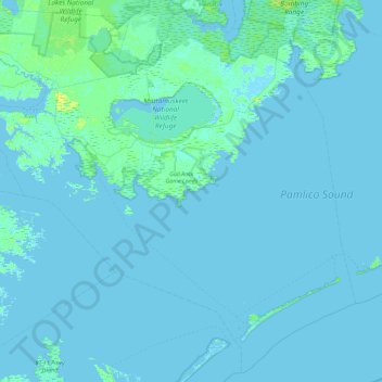
Name: Hyde County topographic map, elevation, terrain.
Location: Hyde County, North Carolina, United States (35.00603 -76.63751 35.70522 -75.73662)
Average elevation: 1 m
Minimum elevation: -4 m
Maximum elevation: 12 m