
Arvika topographic map
Interactive map
Click on the map to display elevation.
About this map
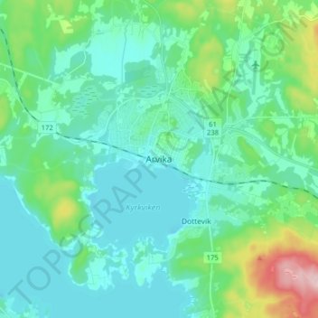
Name: Arvika topographic map, elevation, terrain.
Location: Arvika, Värmland County, Region Svealand, 67151, Sweden (59.61436 12.55162 59.69436 12.63162)
Average elevation: 80 m
Minimum elevation: 41 m
Maximum elevation: 241 m