
Lake Ida topographic map
Interactive map
Click on the map to display elevation.
About this map
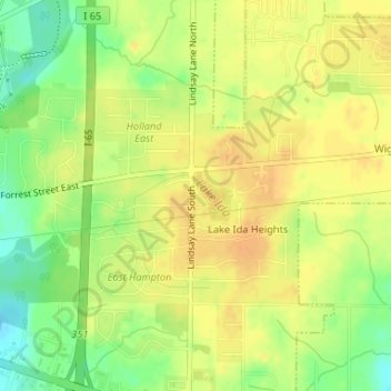
Name: Lake Ida topographic map, elevation, terrain.
Location: Lake Ida, Athens, Limestone County, Alabama, 35613, USA (34.79496 -86.92993 34.79750 -86.92715)
Average elevation: 217 m
Minimum elevation: 197 m
Maximum elevation: 229 m