
Huntington topographic map
Interactive map
Click on the map to display elevation.
About this map
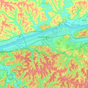
Name: Huntington topographic map, elevation, terrain.
Location: Huntington, Cabell County, West Virginia, United States (38.37599 -82.53179 38.43970 -82.35319)
Average elevation: 218 m
Minimum elevation: 156 m
Maximum elevation: 314 m