
Piermont topographic map
Interactive map
Click on the map to display elevation.
About this map
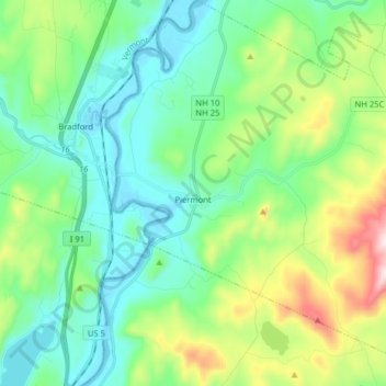
Name: Piermont topographic map, elevation, terrain.
Location: Piermont, Grafton County, New Hampshire, 03779, USA (43.91562 -72.11705 44.02976 -71.95922)
Average elevation: 274 m
Minimum elevation: 114 m
Maximum elevation: 732 m