
Squaw Spring topographic map
Interactive map
Click on the map to display elevation.
About this map
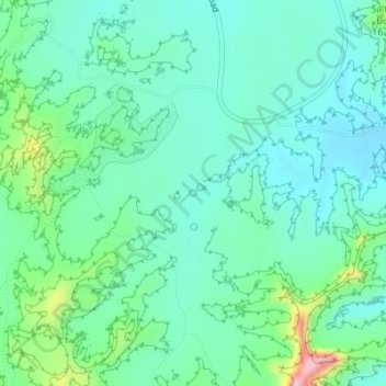
Name: Squaw Spring topographic map, elevation, terrain.
Location: Squaw Spring, Squaw Flat Loop, San Juan County, Utah, USA (38.14237 -109.79429 38.14247 -109.79419)
Average elevation: 1,565 m
Minimum elevation: 1,520 m
Maximum elevation: 1,716 m
Other topographic maps
Click on a map to view its topography, its elevation and its terrain.