
State-Langdon topographic map
Interactive map
Click on the map to display elevation.
About this map
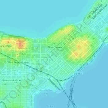
Name: State-Langdon topographic map, elevation, terrain.
Location: State-Langdon, Madison, Dane County, Wisconsin, USA (43.06742 -89.40107 43.07882 -89.39025)
Average elevation: 264 m
Minimum elevation: 256 m
Maximum elevation: 298 m