
Seward County topographic map
Interactive map
Click on the map to display elevation.
About this map
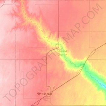
Name: Seward County topographic map, elevation, terrain.
Location: Seward County, Kansas, USA (36.99797 -101.06842 37.38828 -100.63328)
Average elevation: 866 m
Minimum elevation: 750 m
Maximum elevation: 928 m
Other topographic maps
Click on a map to view its topography, its elevation and its terrain.
Lake Jeanette
USA > Kansas > Leavenworth
Lake Jeanette, Lakeside Drive, Leavenworth, Leavenworth County, Kansas, 66043, USA
Average elevation: 253 m
Independence
USA > Kansas > Independence
Independence, Montgomery County, Kansas, 67301, USA
Average elevation: 245 m