
Tigard topographic map
Interactive map
Click on the map to display elevation.
About this map
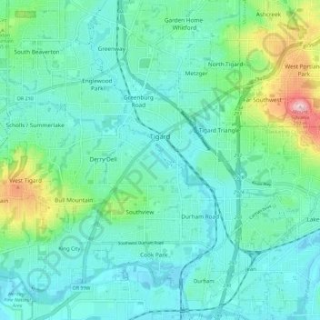
Name: Tigard topographic map, elevation, terrain.
Location: Tigard, Washington County, Oregon, USA (45.39324 -122.85692 45.45643 -122.74365)
Average elevation: 83 m
Minimum elevation: 31 m
Maximum elevation: 288 m