
Royal Pines topographic map
Interactive map
Click on the map to display elevation.
About this map
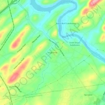
Name: Royal Pines topographic map, elevation, terrain.
Location: Royal Pines, Sullivan County, Tennessee, 37663, USA (36.43566 -82.49265 36.47566 -82.45265)
Average elevation: 435 m
Minimum elevation: 385 m
Maximum elevation: 522 m