
Paria River topographic map
Interactive map
Click on the map to display elevation.
About this map
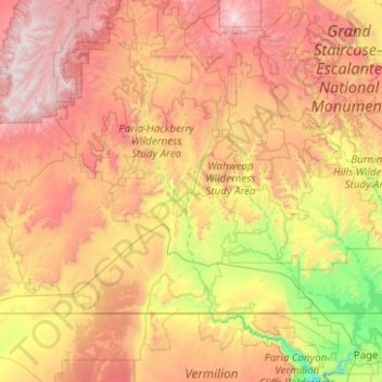
Name: Paria River topographic map, elevation, terrain.
Location: Paria River, Kane County, Utah, 84718, USA (36.85807 -112.08299 37.65282 -111.59173)
Average elevation: 1,802 m
Minimum elevation: 947 m
Maximum elevation: 2,902 m
Other topographic maps
Click on a map to view its topography, its elevation and its terrain.