
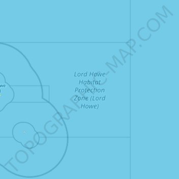
Lord Howe Habitat Protection Zone (Lord Howe) topographic map
Interactive map
Click on the map to display elevation.
About this map
Name: Lord Howe Habitat Protection Zone (Lord Howe) topographic map, elevation, terrain.
Average elevation: 0 m
Minimum elevation: 0 m
Maximum elevation: 161 m