
Dedham topographic map
Interactive map
Click on the map to display elevation.
About this map
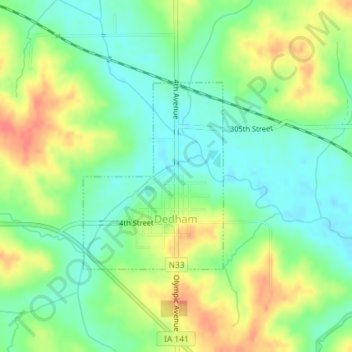
Name: Dedham topographic map, elevation, terrain.
Location: Dedham, Carroll County, Iowa, United States of America (41.90243 -94.83176 41.91678 -94.81730)
Average elevation: 395 m
Minimum elevation: 371 m
Maximum elevation: 429 m