
Riverton topographic map
Interactive map
Click on the map to display elevation.
About this map
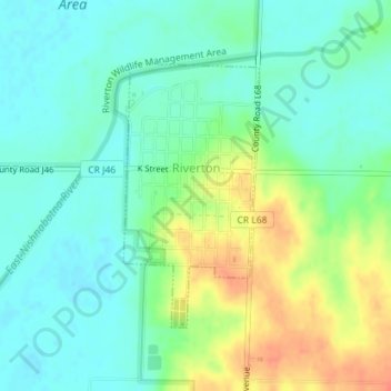
Name: Riverton topographic map, elevation, terrain.
Location: Riverton, Fremont County, Iowa, United States of America (40.67597 -95.57479 40.69424 -95.56246)
Average elevation: 292 m
Minimum elevation: 276 m
Maximum elevation: 323 m