
Annandale topographic map
Interactive map
Click on the map to display elevation.
About this map
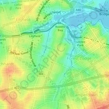
Name: Annandale topographic map, elevation, terrain.
Location: Annandale, Sydney, Inner West Council, 2038, Australia (-33.88828 151.16213 -33.87112 151.17732)
Average elevation: 24 m
Minimum elevation: -10 m
Maximum elevation: 51 m