
Hordley topographic map
Interactive map
Click on the map to display elevation.
About this map
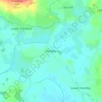
Name: Hordley topographic map, elevation, terrain.
Location: Hordley, Shropshire, England, SY12 9BB, United Kingdom (52.85095 -2.93866 52.89095 -2.89866)
Average elevation: 87 m
Minimum elevation: 74 m
Maximum elevation: 146 m
Other topographic maps
Click on a map to view its topography, its elevation and its terrain.
Walford
United Kingdom > England > Shropshire
Walford, Baschurch, Shropshire, England, SY4 2HR, United Kingdom
Average elevation: 83 m