
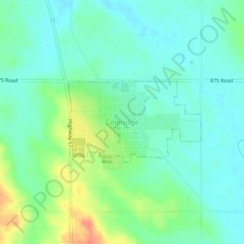
Coleridge topographic map
Interactive map
Click on the map to display elevation.
About this map
Name: Coleridge topographic map, elevation, terrain.
Location: Coleridge, Cedar County, Nebraska, United States (42.50172 -97.21171 42.51080 -97.19178)
Average elevation: 476 m
Minimum elevation: 461 m
Maximum elevation: 509 m