
Brunswick Dock topographic map
Interactive map
Click on the map to display elevation.
About this map
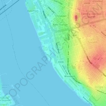
Name: Brunswick Dock topographic map, elevation, terrain.
Average elevation: 16 m
Minimum elevation: 0 m
Maximum elevation: 57 m
Other topographic maps
Click on a map to view its topography, its elevation and its terrain.
Wavertree Playground
United Kingdom > England > Liverpool
Wavertree Playground, Wavertree, Liverpool, North West England, England, United Kingdom
Average elevation: 48 m