
Middletown topographic map
Interactive map
Click on the map to display elevation.
About this map
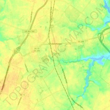
Name: Middletown topographic map, elevation, terrain.
Average elevation: 17 m
Minimum elevation: -1 m
Maximum elevation: 25 m
Middletown is located at 39°26′58″N 75°42′59″W / 39.44944°N 75.71639°W / 39.44944; -75.71639 (39.4495560, -75.7163207) with an elevation of 66 feet (20.1 m).