
Pakiri topographic map
Interactive map
Click on the map to display elevation.
About this map
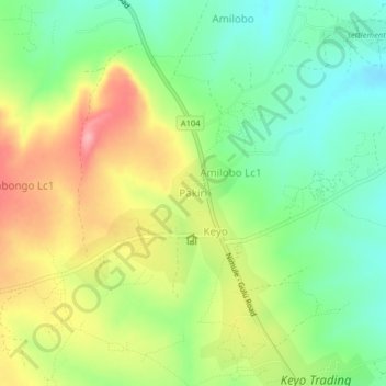
Name: Pakiri topographic map, elevation, terrain.
Location: Pakiri, Amuru, Northern Region, Uganda (2.79425 32.16587 2.83425 32.20587)
Average elevation: 1,109 m
Minimum elevation: 1,054 m
Maximum elevation: 1,184 m