Geolocate

Hokonui Hills topographic map

Interactive map

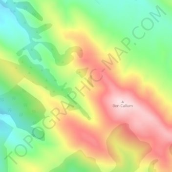
Click on the map to display elevation.

About this map

Name: Hokonui Hills topographic map, elevation, terrain.

Location: Hokonui Hills, Invercargill, Southland, New Zealand (-45.94487 168.50515 -45.94477 168.50525)

Average elevation: 451 m

Minimum elevation: 281 m

Maximum elevation: 643 m

Other topographic maps

Click on a map to view its topography, its elevation and its terrain.

Taramoa

New Zealand > Invercargill > Taramoa

Taramoa, Invercargill, Southland, New Zealand

Average elevation: 8 m

Waitokariro Lagoon

New Zealand > Invercargill

Waitokariro Lagoon, Invercargill, Invercargill City, Southland, New Zealand

Average elevation: 7 m

Ruapuke Islands

New Zealand > Invercargill

Ruapuke Islands, Invercargill, Southland, New Zealand

Average elevation: 4 m

Tauatemaku Lagoon

New Zealand > Invercargill

Tauatemaku Lagoon, Invercargill, Invercargill City, Southland, New Zealand

Average elevation: 5 m