
Harmans topographic map
Interactive map
Click on the map to display elevation.
About this map
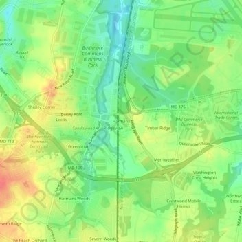
Name: Harmans topographic map, elevation, terrain.
Location: Harmans, Anne Arundel County, Maryland, 21077, United States (39.13733 -76.71664 39.17733 -76.67664)
Average elevation: 44 m
Minimum elevation: 19 m
Maximum elevation: 74 m