
Enuahrat topographic map
Interactive map
Click on the map to display elevation.
About this map
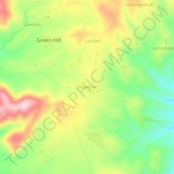
Name: Enuahrat topographic map, elevation, terrain.
Location: Enuahrat, Tafea, Vanuatu (-19.40850 169.28735 -19.36850 169.32735)
Average elevation: 274 m
Minimum elevation: 136 m
Maximum elevation: 436 m
Other topographic maps
Click on a map to view its topography, its elevation and its terrain.