
Mount Edith topographic map
Interactive map
Click on the map to display elevation.
About this map
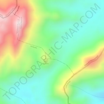
Name: Mount Edith topographic map, elevation, terrain.
Location: Mount Edith, Cairns, Queensland, Australia (-17.10005 145.63328 -17.09995 145.63338)
Average elevation: 852 m
Minimum elevation: 672 m
Maximum elevation: 1,133 m
Other topographic maps
Click on a map to view its topography, its elevation and its terrain.