
Lumsden topographic map
Interactive map
Click on the map to display elevation.
About this map
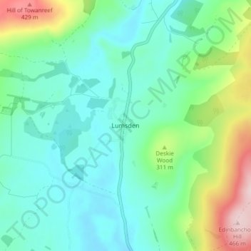
Name: Lumsden topographic map, elevation, terrain.
Location: Lumsden, Aberdeenshire, Scotland, AB54 4JF, United Kingdom (57.26556 -2.89365 57.30556 -2.85365)
Average elevation: 262 m
Minimum elevation: 194 m
Maximum elevation: 468 m