
Christchurch topographic map
Interactive map
Click on the map to display elevation.
About this map
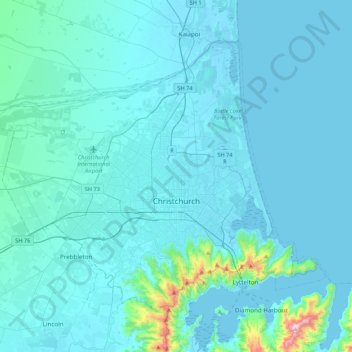
Name: Christchurch topographic map, elevation, terrain.
Location: Christchurch, Christchurch City, Canterbury, New Zealand (-43.62920 172.39302 -43.38909 172.82163)
Average elevation: 41 m
Minimum elevation: -7 m
Maximum elevation: 696 m
Christchurch City trails, hiking, mountain biking, running and outdoor activities
Other topographic maps
Click on a map to view its topography, its elevation and its terrain.