
Tataskweyak Cree Nation topographic map
Interactive map
Click on the map to display elevation.
About this map
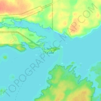
Name: Tataskweyak Cree Nation topographic map, elevation, terrain.
Location: Tataskweyak Cree Nation, Manitoba, Canada (56.20454 -96.13555 56.28454 -96.05555)
Average elevation: 175 m
Minimum elevation: 165 m
Maximum elevation: 200 m