
Whakamaru topographic map
Interactive map
Click on the map to display elevation.
About this map
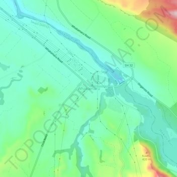
Name: Whakamaru topographic map, elevation, terrain.
Location: Whakamaru, Taupo District, Waikato, 3492, New Zealand (-38.44102 175.77845 -38.40102 175.81845)
Average elevation: 265 m
Minimum elevation: 189 m
Maximum elevation: 476 m
Taupo District trails, hiking, mountain biking, running and outdoor activities