
Okaihau topographic map
Interactive map
Click on the map to display elevation.
About this map
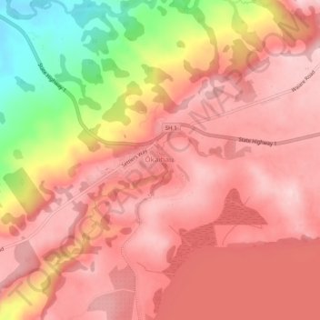
Name: Okaihau topographic map, elevation, terrain.
Location: Okaihau, Far North District, Northland, 0475, New Zealand (-35.34265 173.75152 -35.30265 173.79152)
Average elevation: 208 m
Minimum elevation: 36 m
Maximum elevation: 284 m