
Karamea topographic map
Interactive map
Click on the map to display elevation.
About this map
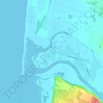
Name: Karamea topographic map, elevation, terrain.
Location: Karamea, Buller District, West Coast, 7864, New Zealand (-41.26759 172.09157 -41.22759 172.13157)
Average elevation: 10 m
Minimum elevation: -2 m
Maximum elevation: 128 m