
Hororata topographic map
Interactive map
Click on the map to display elevation.
About this map
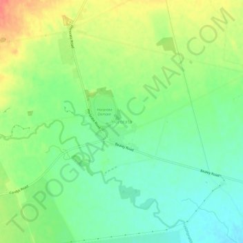
Name: Hororata topographic map, elevation, terrain.
Location: Hororata, Selwyn District, Canterbury, 7572, New Zealand (-43.55546 171.93806 -43.51546 171.97806)
Average elevation: 193 m
Minimum elevation: 169 m
Maximum elevation: 229 m