
Ruakaka topographic map
Interactive map
Click on the map to display elevation.
About this map
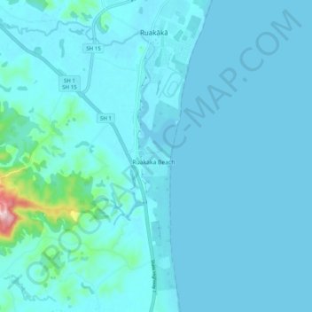
Name: Ruakaka topographic map, elevation, terrain.
Location: Ruakaka, Whangarei District, Northland, 0171, New Zealand (-35.94710 174.41638 -35.86710 174.49638)
Average elevation: 17 m
Minimum elevation: 0 m
Maximum elevation: 254 m