
Seddonville topographic map
Interactive map
Click on the map to display elevation.
About this map
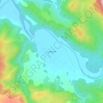
Name: Seddonville topographic map, elevation, terrain.
Location: Seddonville, Buller District, West Coast, New Zealand (-41.56978 171.96849 -41.52978 172.00849)
Average elevation: 103 m
Minimum elevation: 1 m
Maximum elevation: 406 m