
Kumara topographic map
Interactive map
Click on the map to display elevation.
About this map
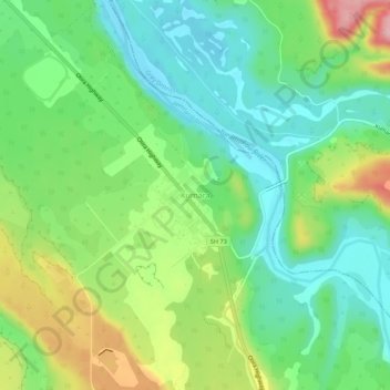
Name: Kumara topographic map, elevation, terrain.
Location: Kumara, Westland District, West Coast, 7832, New Zealand (-42.64987 171.16691 -42.60987 171.20691)
Average elevation: 73 m
Minimum elevation: 14 m
Maximum elevation: 185 m
New Zealand trails, hiking, mountain biking, running and outdoor activities