
Luggate topographic map
Interactive map
Click on the map to display elevation.
About this map
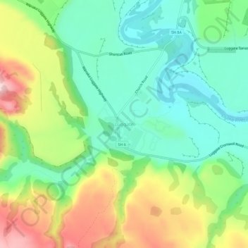
Name: Luggate topographic map, elevation, terrain.
Location: Luggate, Queenstown-Lakes District, Otago, New Zealand (-44.76567 169.24983 -44.72567 169.28983)
Average elevation: 348 m
Minimum elevation: 241 m
Maximum elevation: 536 m