
Twizel topographic map
Interactive map
Click on the map to display elevation.
About this map
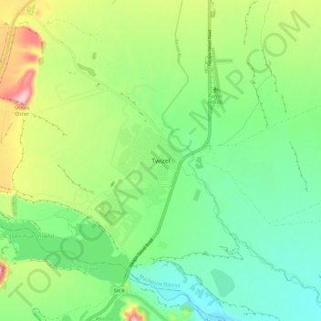
Name: Twizel topographic map, elevation, terrain.
Location: Twizel, Mackenzie District, 7901, New Zealand (-44.29748 170.05941 -44.21748 170.13941)
Average elevation: 472 m
Minimum elevation: 411 m
Maximum elevation: 592 m
Mackenzie District trails, hiking, mountain biking, running and outdoor activities