
Moerewa topographic map
Interactive map
Click on the map to display elevation.
About this map
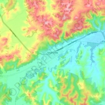
Name: Moerewa topographic map, elevation, terrain.
Location: Moerewa, Far North District, Northland, 0211, New Zealand (-35.42802 173.97423 -35.34802 174.05423)
Average elevation: 89 m
Minimum elevation: 4 m
Maximum elevation: 225 m