
Veldhoven topographic map
Interactive map
Click on the map to display elevation.
About this map
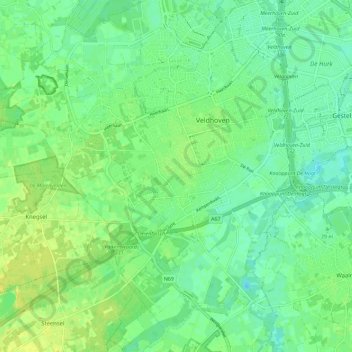
Name: Veldhoven topographic map, elevation, terrain.
Location: Veldhoven, North Brabant, Netherlands (51.37646 5.31581 51.43891 5.42986)
Average elevation: 23 m
Minimum elevation: 14 m
Maximum elevation: 34 m