
Südweststadt topographic map
Interactive map
Click on the map to display elevation.
About this map
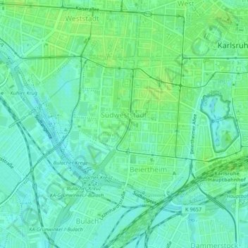
Name: Südweststadt topographic map, elevation, terrain.
Average elevation: 119 m
Minimum elevation: 113 m
Maximum elevation: 123 m
Other topographic maps
Click on a map to view its topography, its elevation and its terrain.
Karlsruhe
Germany > Baden-Württemberg > Karlsruhe
Karlsruhe, Baden-Württemberg, Germany
Average elevation: 132 m