
Palmerston Island topographic map
Interactive map
Click on the map to display elevation.
About this map
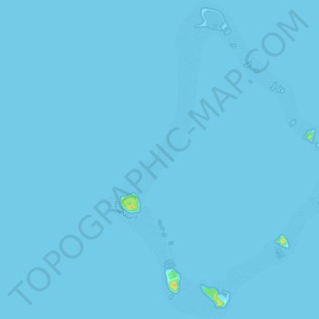
Name: Palmerston Island topographic map, elevation, terrain.
Location: Palmerston Island, Palmerston, Cook Islands (-18.09572 -163.19902 -17.98740 -163.11233)
Average elevation: 0 m
Minimum elevation: -1 m
Maximum elevation: 25 m