
Cascade Locks topographic map
Interactive map
Click on the map to display elevation.
About this map
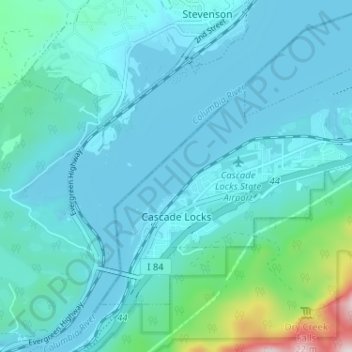
Name: Cascade Locks topographic map, elevation, terrain.
Location: Cascade Locks, Hood River County, Oregon, USA (45.65829 -121.90441 45.69111 -121.84014)
Average elevation: 101 m
Minimum elevation: 18 m
Maximum elevation: 701 m