
Spiss topographic map
Interactive map
Click on the map to display elevation.
About this map
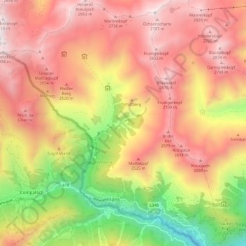
Name: Spiss topographic map, elevation, terrain.
Location: Spiss, Landeck, Tyrol, 6544, Austria (46.94454 10.38933 47.01558 10.48383)
Average elevation: 2,199 m
Minimum elevation: 1,247 m
Maximum elevation: 2,919 m