
Huntley topographic map
Interactive map
Click on the map to display elevation.
About this map
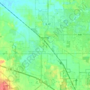
Name: Huntley topographic map, elevation, terrain.
Location: Huntley, McHenry County, Illinois, USA (42.11227 -88.48193 42.21526 -88.38849)
Average elevation: 272 m
Minimum elevation: 256 m
Maximum elevation: 315 m