
Espital topographic map
Interactive map
Click on the map to display elevation.
About this map
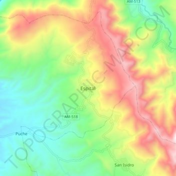
Name: Espital topographic map, elevation, terrain.
Location: Espital, Province of Bagua, Amazonas, Peru (-5.55860 -78.53934 -5.47860 -78.45934)
Average elevation: 910 m
Minimum elevation: 407 m
Maximum elevation: 1,640 m